Sunday, August 27, 2023

Florida Storm Threat

Get ready for a week of anxiety, specially for the West Coast of Florida. Impacts however, may be felt across the entire state. This is what we are covering.


HEADLINES
  • Tropical Wave off the West Coast of Africa with a very low chance for development. Very far away with plenty of time to monitor.
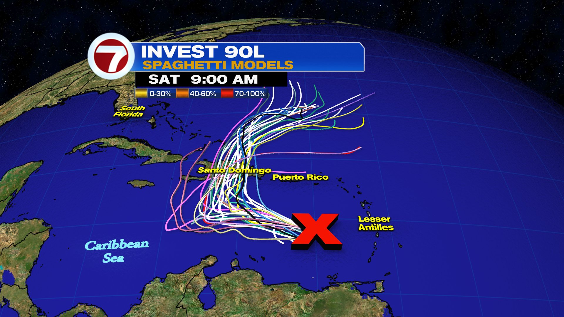
  • Invest92L in the middle of the Atlantic with a zero percent chance for growth as of sunday morning. 
  • Hurricane Franklin is getting stronger. Should remain a powerful marine hurricane.
  • BRAND NEW - TD 10 is now Tropical storm Idalia. It is practically spinning on its axis. Models suggest that will change. Expected to Strengthen Into a Hurricane Over the Eastern Gulf of Mexico in a Couple of Days. 
Tropical Storm Idalia


The system has been doing a slow clockwise trek as steering winds remain weak.

Why the crawl?


On this Mexican Weather office surface map above,  you will notice an "A", along the USA/MEX border. This is high pressure at the surface.

In the Upper Levels...

A bit hard to see, but once you find the Yucatan Peninsula, you'll spot an area of clouds. 
  • The arrows flow counterclockwise, this is Idalia 
  • In the Gulf of Mexico, you'll see the opposite spin, this is high pressure in the Upper Levels. This is helping to keep the system from intensifying now. 
  • Both highs have also trapped Idalia not allowing it to move much and it's the cause of the slow movement. This will change.
Satellite

As of Sunday morning, the National Hurricane Center (NHC) says:
  • The overall cloud pattern has not become significantly better organized.  
  • The small center is partially exposed on GOES-16 visible imagery
  • Convective banding features are still not very well defined. Most of the rain is along the Yucatan Coast and Western Cuba 
Where may it go?


Steering currents should remain light until Monday evening. By then, high pressure over Florida will start to move East, while a front enters the Eastern US.  This creates a small road in the atmosphere between both features. This atmospheric alleyway allows Idalia to start making a move NNE.  When and how fast that turn will happen, depends on how quickly the front and the high move away.

72 Hour Forecast Map


The map suggests that by the middle of next week we could have Hurricane Idalia just west of Tampa. This is when it will turn even more towards Florida. 

How Strong?


 Reading left to right, you will notice the models indicating stronger winds with most topping off around tropical storm intensity. A few take into account how hot the Gulf waters are, and push the intensity into category 1 status. A couple take it into cat 2 strength.

Florida Impacts
NOAA says:
  • The storm is forecast to become a hurricane over the eastern Gulf of Mexico 
  • There is an increasing risk of life-threatening storm surge, flooding from heavy rainfall, and hurricane-force winds along portions of the west coast of Florida and the Florida Panhandle beginning as early as Tuesday.  
  • Storm surge and hurricane watches may be required for portions of the Gulf coast of Florida later this Sunday.

South Florida Impacts
The closest the system may get to South Florida is from Tuesday thru Wednesday. IF THE FORECAST PANS OUT, the worst will remain away from Broward, Miami-Dade and the Keys. Rain however, will be the trickiest to forecast.  Models suggest 2 - 2.3 inch range could come down. All depends on the  exact placement of the storm as it moves near us. 


The rain forecast keeps the big downpours offshore and into the Big Bend. 


Flood risk will be highest along the same area of heaviest rainfall. So FL is in the low risk area.

REMINDER
The atmosphere is in constant flux. Forecasts will evolve just as systems evolve. Any small jog west or east will change what we get. While no direct impact is slated for South Florida, check back from time to time for changes.

We'll keep watching.

Sunday, August 20, 2023

The Tropics are on Overdrive

Many tropical systems in the Atlantic Basin Sunday, and one rare hurricane in the Eastern Pacific.

Let's start with Hilary, a rare tropical system that should impact Southern California and parts of the desert Southwest Sunday night and Monday.

Hurricane Hilary

The threat triggered California’s first ever tropical storm warning extending from the state’s southern border to just north of Los Angeles. 

Hilary is also forecast to be “the wettest tropical cyclone in state history,” according to the California governor’s office.

This is the most telling statement from NHC regarding Hillary.

"The potentially historic amount of rainfall is expected to cause life-threatening to locally catastrophic flash, urban, and arroyo flooding including landslides, mudslides, and debris flows through early Monday morning. Localized flooding impacts, some significant, are also expected across northern portions of the Intermountain West."

Data from NHC: 
  • Hilary is forecast produce storm total rainfall amounts of 3 to 6 inches, with maximum amounts up to 10 inches are expected across portions of southern California and  southern Nevada leading to dangerous to catastrophic flooding.
  • Flash and urban flooding, locally catastrophic, is forecast
  • Across portions of Oregon and Idaho, rainfall totals of 1 to 3 inches with local maxima to 5 inches are expected through Tuesday morning, resulting in localized, some significant, flash flooding.

Meanwhile in the Atlantic Basin.
There are 5 systems being watched by the National Hurricane Center (NHC). Two already developed, they are Tropical storm Emily and Tropical Depression # 6.


Tropical Storm Emily was named at 11 am.  


This is the latest from NHC:
  • Emily is moving toward the west-northwest near 10 mph (17 km/h)
  • This motion is expected to continue for the next several days. 
  • Satellite wind data indicates that maximum sustained winds are near 50 mph (85 km/h) with higher gusts. 
  • Little change in strength forecast Sunday followed by gradual weakening. 
  • Emily is likely to become a post-tropical remnant low by Tuesday. 
  • Tropical-storm-force winds extend outward up to 185 miles (295 km) from the center.
  • ONLY A WORRY FOR Shipping lanes
Tropical Depression 6

Such a beautiful satellite image. You can see the center spin clearly with most of the cloud cover on the eastern side. This is where you will find most of the rain. Notice the line of clouds moving in the opposite direction both to the west and north of TD 6. These are strong upper level winds that will continue to take a toll on the system. 


TD 6 may only last thru Monday as those upper winds known as shear should shred it apart. 

Invest 90L
These are the rain chances from a possible tropical system for Puerto Rico.


Through Tuesday, high rain chances remain for the Island as well as Central & Northernmost Leeward Islands.


Good overnight to morning loop over the Eastern Caribbean Sea. This is invest 90L, now a broad area of low pressure. You can see that it already has a cyclonic spin to it.

Per NHC:
  • Showers and thunderstorms continue to show signs of organization in association with an area of low pressure over the far eastern  Caribbean Sea. 
  • Additional development of this system is expected
  • A tropical depression is likely to form during the next couple of days as it moves westward to west-northwestward at 10 to 15 mph 
  • By midweek it should start turning northward and moving into the southwestern Atlantic Ocean Regardless of development, heavy rainfall is possible over portions of the Lesser Antilles during the next couple of days. 
  • Interests in the eastern and central Caribbean should monitor the progress of this system. 
  • A NOAA Hurricane Reconnaissance mission is scheduled to investigate the system later Sunday. 
Where is it headed?

If it does organize, most models take the center mostly over Dominican Republic & Haiti.  This is because high pressure over the Atlantic pushing it west will split and create a small avenue for the system to take north. Rain is still the issue.

Wave off Africa

This satellite loop shows Emily spinning over the upper left part of the imagery while picking up the very healthy wave off Africa.

NHC says:
  • A large area of disorganized showers and thunderstorms over the far eastern tropical Atlantic is associated with a tropical wave. 
  • Environmental conditions appear conducive for gradual development of this system
  • A tropical depression could form later this week while it moves west-northwestward across the eastern tropical Atlantic.
  • Plenty of time to watch
Tropical Wave in Gulf


The on & off downpours South Florida has seen this weekend are due to a wave that has now moved into the Eastern Gulf of Mexico. It has been deemed Invest91L

NHC Says:
  • The wave is expected to lead to the formation of a broad area of low pressure early this week. 
  • Some slow development of this system could occur thereafter as it moves westward at about 15 to 20 mph
  • A tropical depression could form as it approaches the western Gulf of Mexico coastline by Tuesday.
These are the very early model runs:


I can't say it enough, this is a prime reminder we are in hurricane season and we should all be prepared in case Mother Nature sends something our way. We'll be watching.

Saturday, August 19, 2023

The Tropics Awaken

This weekend South Florida will be impacted by rain from a tropical wave. A wave that may cause downpours and street flooding here, and maybe bigger headaches down the road away from us.

This is the wide Satellite view, starting from the overnight hours to daytime Saturday .


Along the West Coast of Africa you see a cluster of clouds. This is the newest tropical wave. It has a 20% chance for development over 7 days.

Invest 98L
  • Most of the action is in the Central Atlantic, otherwise known as the Main Development Region, or MDR for short. 
  • Three healthy spins are detected. Of the three, the farthest East is Invest 98L. 
  • As you know, invest stands for an area NHC would like to INVEST-igate further, 98 is a tracking number ( they go from 90 to 99 and start over again), and "L" stands for Atlantic Basin. 
  • The broad low is sitting a few hundred miles west of the Cape Verde Islands.  
  • Presently moving west with a high chance for development. 
  • If it doesn't develop soon, atmospheric conditions will deteriorate and prevent it from getting its act together.

If it organizes, where may it go?


High pressure is driving the system west. But in a few days, the high will split and the low will look for that gap and start traveling north. Here upper winds and Saharan dust are found.  They may spell the end for the low. We will keep monitoring as Atlantic waters are very warm. It could give it a boost.

Invest 99L


This is another broad area of low pressure.  Per NHC, its Located roughly halfway between the Cabo Verde Islands and the Lesser Antilles .
  • It's Producing disorganized showers and thunderstorms to the east of its center. 
  • Environmental conditions are forecast to become increasingly unfavorable for further development during the next day or two
  • It's  moving west-northwestward at 10 to 15 mph 
  • As of this moment it has a low chance for growth.

If it develops, where may it go?


This low will try to sneak in the same gap left behind by high pressure. However if it's late in the turn, it may head west and impact the islands with plenty of rain.  DO NOT worry about the straight black line with the triangles. This is the extrapolation model or the persistence model. It merely suggests if there was nothing impacting the low and remained heading in the present direction, that's where it would go. Chances of that happening are extremely low.

Invest 90L

Courtesy Tropical TidBits


This is a Tropical Wave looking better on satellite imagery Saturday morning.  It's located  East-Southeast of the Lesser Antilles . The National Hurricane Center has deemed it Invest 90L. 

  • It's producing disorganized showers and thunderstorms. 
  • Some gradual development of this system is possible 
  • A tropical depression could form during the early and middle parts of next week while it 
  • moves westward to west-northwestward at 10 to 15 mph, across the Lesser Antilles and over the eastern and central Caribbean Sea.  
  • Moderate chances for development

If it develops, where will it travel?


Models are still trying to figure this one out, but it is worthy of keeping tabs on it. Anytime a system threatens to move across the Caribbean, it has the potential to cause plenty of headaches. Everyone throughout the Lesser & Greater Antilles should monitor it for the next few days until it shows its hand. 

Tropical Wave


Clouds and rain across the Bahamas, Cuba, & South Florida are associated with a westward moving tropical wave. Once in the Gulf of Mexico it may try to develop.
  • An area of disturbed weather located near the northwestern and central Bahamas is forecast to move into the Gulf of Mexico by early next week
  • A broad area of low pressure is expected to form. 
  • Some slow development of this system is possible thereafter, and a tropical depression could form as it moves westward and approaches the western Gulf of Mexico coastline by the middle of next week.
  • Medium chance for development 
While South Florida may just see some rain from this wave, it's a good reminder we're in hurricane season. Don't let your guard down we still have the most active part ahead.


We'll keep watching.


CSU Hurricane Season 2024 Outlook

Colorado State University (CSU) , issues the hurricane forecast for the 2024 season. They are calling for what may turn out to be a very act...