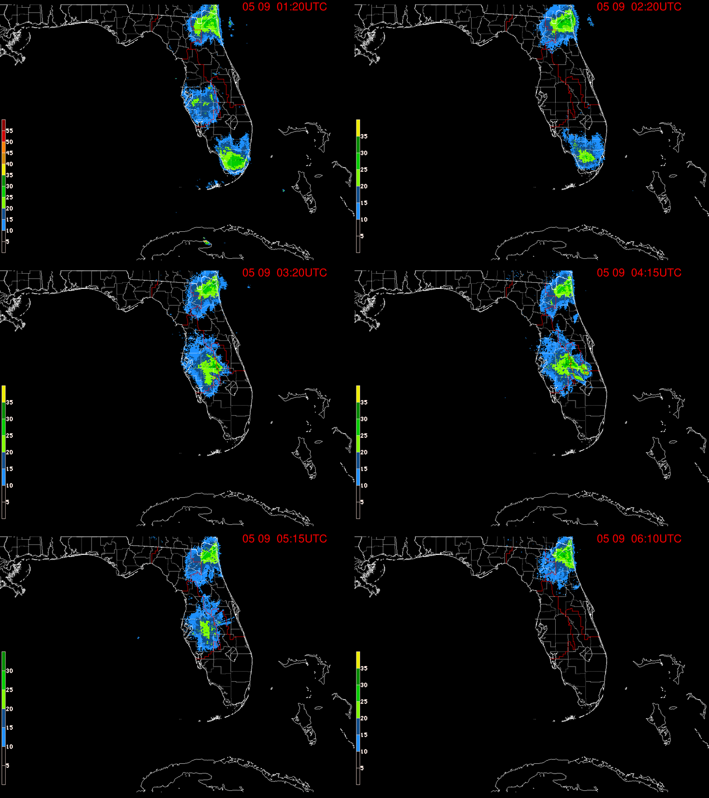
The actual spin, now area of low pressure, is roughy 100 miles East of Jacksonville, running alongside a decaying front.
It has been deemed Invest 92L. Invest for an area NHC would like to INVESTigate further, 92 is a tracking number, and "L" stands for the Atlantic basin.
CHANCES FOR DEVELOPMENT
- There's a 60% chance for organization between now and the next 7 days.
- If it moves inland , then formation chances will drop.
- A Recon mission is scheduled for later in the day to get a better handle on this system.
WHERE MAY IT GO?
Early model runs are not in agreement. While most show a system along the East Coast on a northward track, others keep it hovering over the SE. Heavy rain potential will be present.
SOUTH FL IMPACTS?
Even if Invest 92L does not turn tropical, the counterclockwise circulation will keep drawing moisture from the Gulf Waters leaving us rather soggy thru the weekend.
Per @NWSMiami
"Expect continuing
rounds of showers and thunderstorms, with global models depicting
widespread rain across SoFlo. High-res/CAMs keep rainfall totals in
the 2-3" range through the weekend. Periods of heavy rain,
especially with training of cells or terrain anchoring, may
result in localized urban flooding. LPMM estimates show possible
isolated accumulation values of up to 5 inches with the heaviest
or long- lasting downpours. A few overnight showers or isolated
thunderstorms can't be ruled out."
The entire 7Weather team will keep you updated on this feature. Regardless of the rain, we hope you have a safe and dry, 4th of July.


No comments:
Post a Comment